Features Cosecha H2O
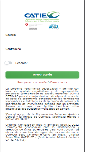
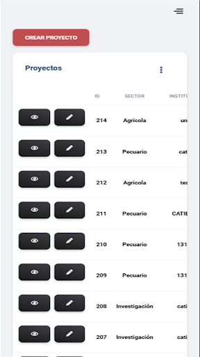
This geospatial tool uses statistical analysis and weighted overlay, which involves combining layers, to identify optimal zones for establishing runoff water harvesting jobs.
This process takes into account the topographic and hydrological conditions of the region of interest, as well as the prioritization of the intervention defined by a project.
The result is a comprehensive map that makes it easy to identify potential sites, which can then be validated in the field.Furthermore, this tool is accessible both at the computer level and on mobile devices, providing convenience and flexibility to its users.* Its use can be at the level of a computer or from a cell phone“With the support of the Swiss Cooperation in Central America and the Basin, Water Security and Soil Unit of CATIE”
Smart Home
Control and monitor your home with smart features.
Secure & Private
Your data is protected with industry-leading security protocols.
24/7 Support
Our dedicated support team is always ready to help you.
See the Cosecha H2O in Action

Get the App Today
Available for Android 8.0 and above